Services
Surveying and Spatial Data Services
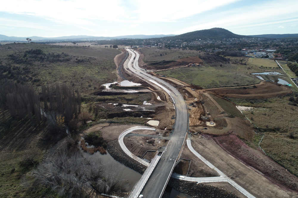
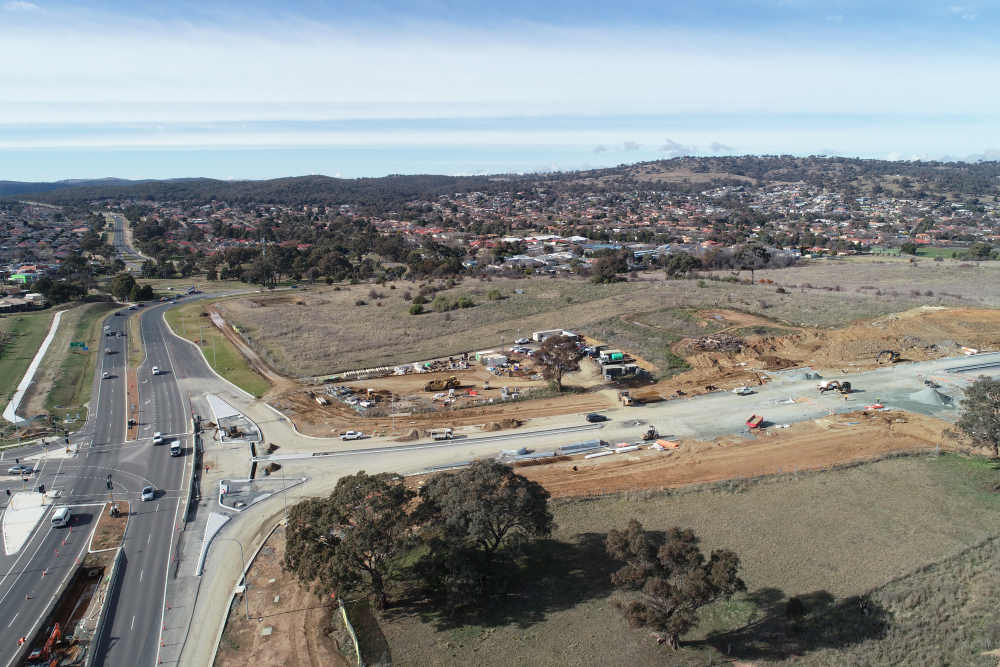
Civil Construction Surveying
We are qualified and experienced in conducting High Quality Civil and Building Construction Surveys. Our team of dedicated Surveyors will be with you from beginning to end on your projects and will make sure all your survey needs are met. We specialise in:
- Main Roads and Subdivisions
- Hydraulics
- Other Underground & Overhead services
- Dams Construction & Monitoring Surveys
- Playgrounds
- Bridges
Surveys will include, but not limited to
- Survey Control establishment
- Survey Setout
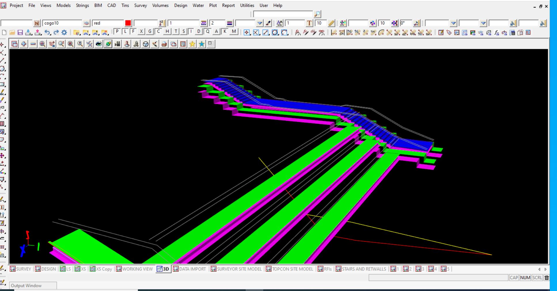
- Detailed excavation and construction models to comply with Civil Standard Drawings, Specifications and Design Drawings.
- Machine Guidance Models, Hardware, and management of fleet.
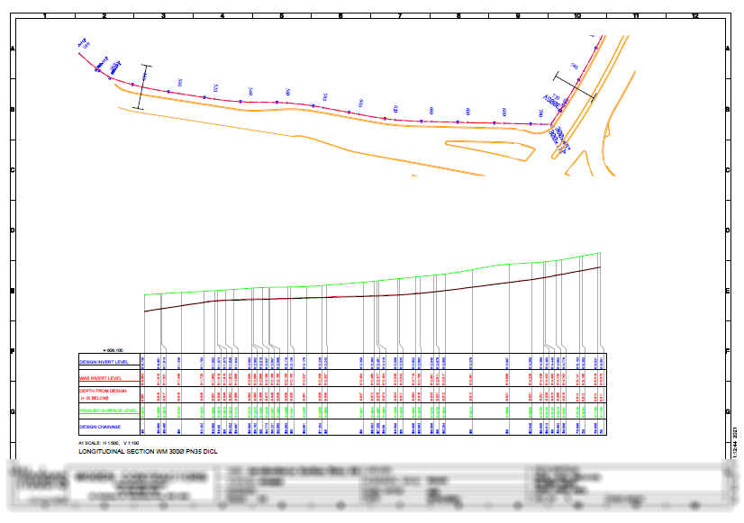
- Conformance and Work as Executed (WAE) reporting
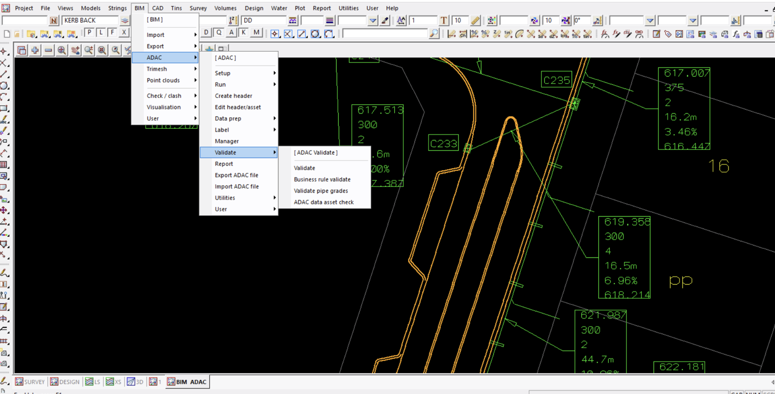
- ADAC XML WAE
- BIM modelling
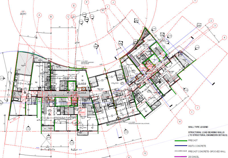
Building Construction
- Survey Control establishment
- Boundary Definition
- Survey Setout
- Aligning with Existing Structures on Brownfield Building Renovations
- Detailed Setout Models for Piling, footings, Walls, Grids, Penetrations, Wet areas, Bolts and Floor Levels to comply with Building Specifications and Design Drawings.
- Machine Guidance Models, Hardware, and Management of Fleet.
- Conformance and WAE reporting
Mining & Mining Infrastructure
Mining infrastructure (Building and Civil Construction)
Will also include Drone Surveys (Photogrammetry) where needed on existing infrastructure, construction progress reporting and monitoring.
Open-cut Mining – Daily mining set-out and pickup for:
- Crests & Toes
- Drill and blast,
- Haul Roads,
- Ramps
- Tailings,
- ROM,
- Stockpiles
- EOM and Stockpile/Dump Quantity Reporting
Cadastral & Boundary Surveying
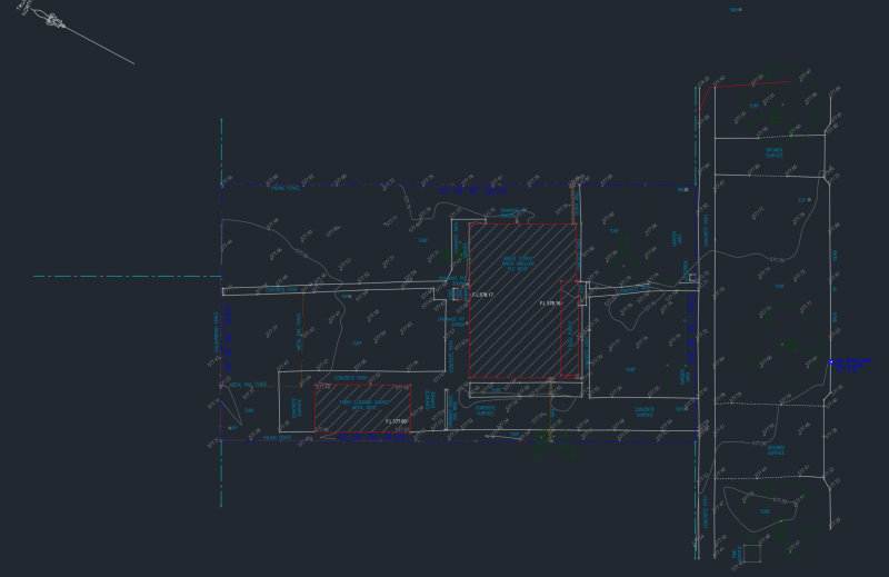
Cadastral Surveying (Boundary Definition & Residential Detail Surveys)
Cadastral Surveying is a field of Land Surveying that deals with the definition, establishment, location, relocation, and advice on property boundaries by Registered Surveyors. In Australia, to practice Cadastral Surveying, a Surveyor must be Registered by the Surveyors Board in the State or Territory in which they practice. At nine Land & Engineering Surveyors we employ New South Wales (NSW) and Australian Capital Territory (ACT) Registered Surveyors to look after all our Cadastral and Residential Survey Work.
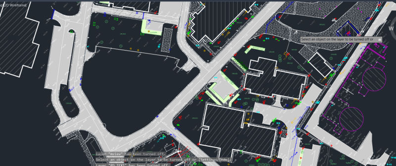
We work on Small and Large-scale Land Subdivision work for new developments and Title Transfer purposes, Existing Boundary relocation and re-establishment, Detail Surveys for existing Infrastructure and Features, Topography (Contours) and all Surveys needed for Development Application (DA) Approvals.
CADD
At nine Land & Engineering Surveyors we employ expert Civil Designers and Drafters to look after Civil Engineering design and re-design work, Civil and Cadastral Surveying drafting as well as Work as Executed (As Built) drafting and presentation for various infrastructure projects.
Civil and Hydraulics RFIs and redesign
Client Specific WAE & Conformance
ADAC XML requirements
Residential & Cadastral Detail Surveys
Civil Design
Civil and Building BIM
Engineering Detail Survey
We offer surveying services for existing features (both natural and man-made) for Land Development purposes on large scale Civil and Infrastructure projects such as Main Roads, Major Hydraulics and Underground/Overhead services, Mining leases and Mining Infrastructure, as well as Land Subdivision and Redevelopment purposes.
Features surveyed include but are not limited to:
- Buildings
- Boundaries & Fences
- Hydraulics
- Vegetation (including significant trees etc)
- Existing Roads, Driveways, Footpaths and Associated Assets
- Contours & AHD levels
Engineering Detail Surveys will also include surveys for Volumetric & End of Month (EOM) Surveys.
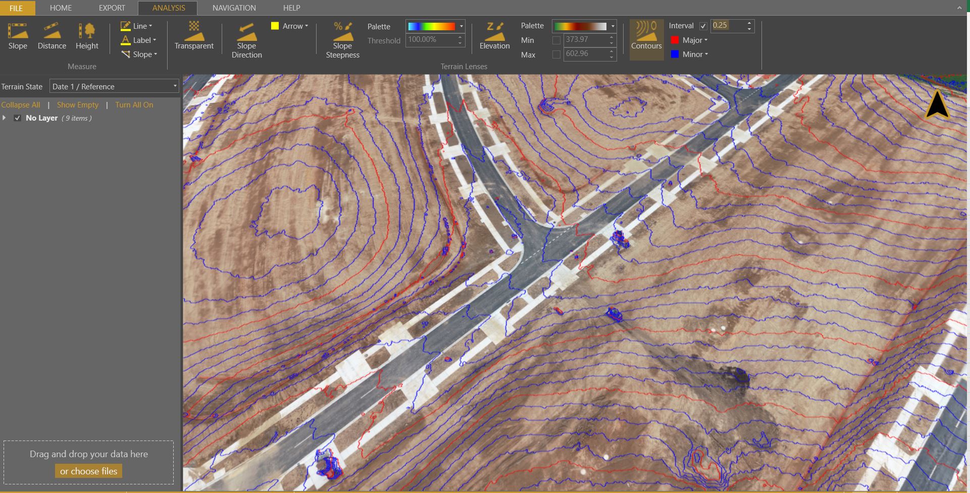
We use traditional Trig Heighting Surveys, GNSS (GPS) methods as well as Photogrammetry (Drone Surveys) to meet our Client’s Engineering Detail Survey needs.
Photogrammetry/Drone Surveys
Technological advancement has brought the world of drones to our day to day lives. The old field of Photogrammetry (3D mapping using photographic images from aeroplane mounted cameras) has come to our doors in the form of drones and 3D modelling software.
At nine, we use DJI drones for 3D aerial mapping. Our clients appreciate the timeliness, efficiency, and cost savings from 3D models off drone flights:
- Civil Earthworks Quantity Progress Claims
- Stockpile Volume Surveys
- Mining/Quarry Overburden, Stockpiles, ROM Quantities
- Dilapidation reports
- Site investigation
- Timeline slideshows and reports
- On Engineering Detail Surveys, whenever vegetation cover is minimal, we reduce field time using drone surveys.
Our staff is CASA accredited to carry out drone surveys for your project and planning needs.
Work as Executed (WAE) and Conformance Surveys
WAE and Conformance surveys on:
- Structures
- Roads
- Hydraulics
- Underground and overhead services
- Bridges
- Buildings
Just Give Us A Call


